Precision You Can Build On
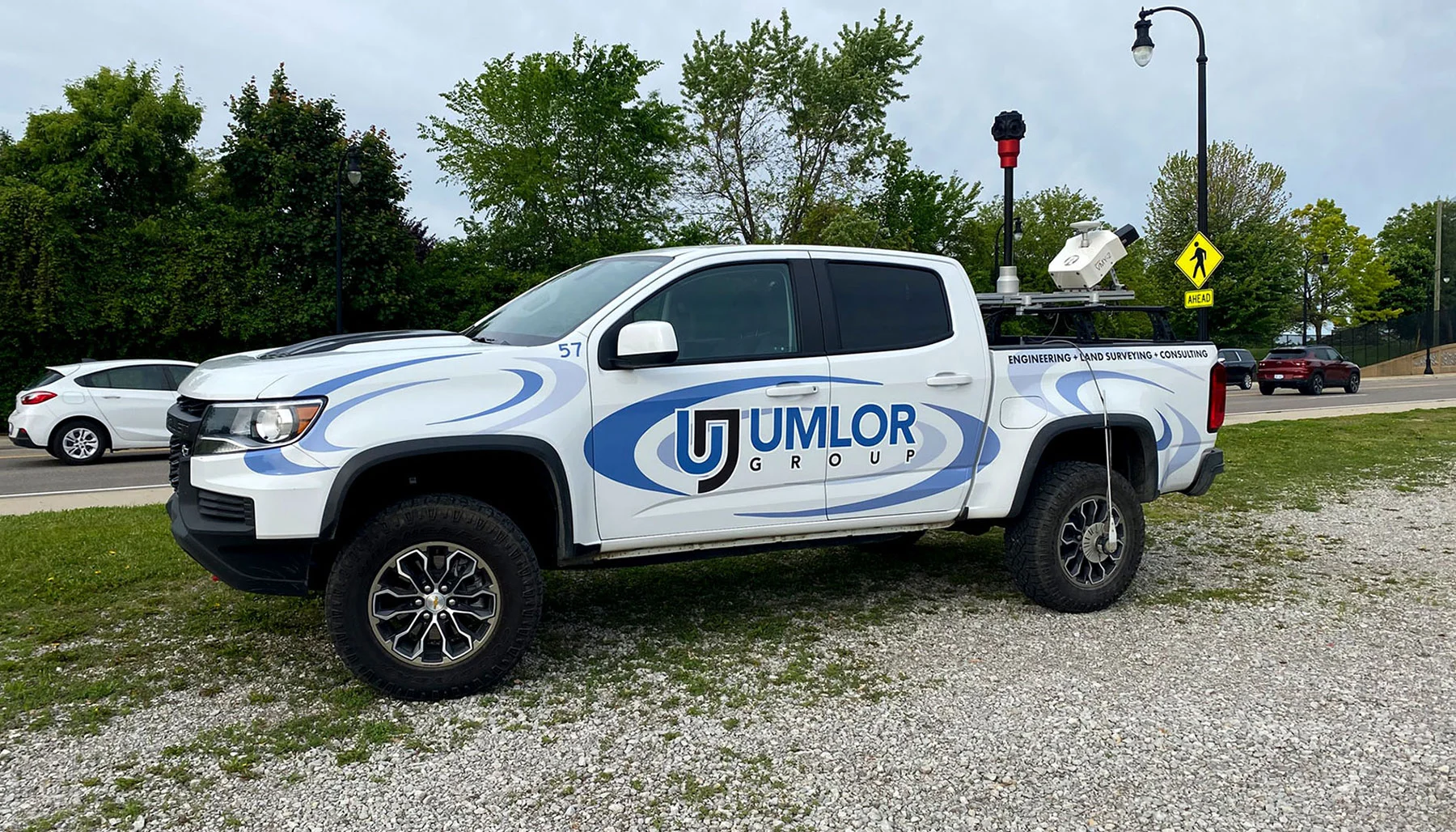

Mobile LiDAR Scanning Technology helps clients reduce risk, improve coordination, and make informed decisions earlier in the process. Whether you’re working on a complex site, a large-scale property, or a project with tight timelines, our survey team can capture and extract 3-dimensional point clouds you can depend on.
Let The Umlor Group customize and tailor our Mobile LiDAR Scanning Services to meet your project requirements today!
LiDAR Scanning Applications
- Right-of-Way/Corridor Mapping
- Transportation Infrastructure Replacement/Design
- Public or Private Utility Replacement/Design
- Right-of-Way/Corridor Surface Modeling
- Imagery Collection
- Rapid Capture of Construction Sites or Bulk Material
- City Modeling
- GIS Mapping & Asset Management
- Open-Pit Mine Surveying
- As-Built Surveying
